
Land Surveying
From rural surveys for residential homeowners to projects for urban municipalities and the industrial sector, our survey expertise can accommodate everyone.
Here to enhance your land development.
Established in 1956, Matson Peck & Topliss is one of British Columbia’s most reputable professional surveying firms. We will get you all the information you need the first time, helping ensure a speedy and successful application process for your upcoming project.
Our experienced staff includes Licensed Canada Land Surveyors (CLS), and we have the tools and capability to tackle the most challenging work — large strata developments, intricate volumetric SRW, and air-space subdivision plans.
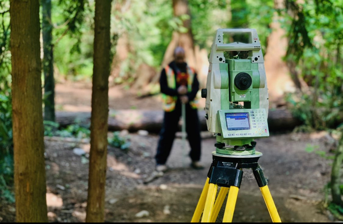
A complete range of survey services.
Legal & Boundary Surveys
Establishing property lines and boundaries, subdivision and posting plans, statutory rights-of-way, leases and restrictive covenants — the full range of legal survey plans.
Strata Plans
Strata plans for projects of all sizes, from duplexes and multiplexes to low-rise, mixed-use and larger phased developments.
Air-Space & Volumetric Plans
Air-space subdivision plans, volumetric statutory rights-of-way and other complex three-dimensional legal survey plans for multi-layered sites.
Topographic Surveys
Detailed mapping of existing site features, contours and grades to inform design, planning and development applications.
Construction & Layout Surveys
Precise construction control and layout that keeps projects building accurately to design — from foundations to finished works.
Geodetic & Control Surveys
High-order control networks that tie your project to the geodetic framework with confidence and repeatability.
GPS / RTK Surveys
Static and real-time kinematic GPS combined with traditional surveying methods to solve challenging geomatics problems efficiently.
Monitoring Surveys
Deformation and settlement monitoring — setting and tracking monitoring points through excavation and construction over time.
Building & Location Certificates
Certificates confirming the siting of structures relative to property boundaries and setback requirements.
3D Digital Scanning
High-density 3D scanning that captures complex environments in precise detail — from elevator plumbness and slab flatness to shotcrete analysis, precise volume calculations, underground spaces and enclosed chambers. Ideal for any application requiring rich, reliable point cloud data.
Drone Surveys & Aerial Photography
Drone-based mapping and current aerial photography to support planning, design, construction review and site documentation, with imagery integrated into survey plans where helpful.
We possess the tools and capabilities to tackle challenging projects — large strata developments, intricate volumetric SRW, and air-space subdivision plans.
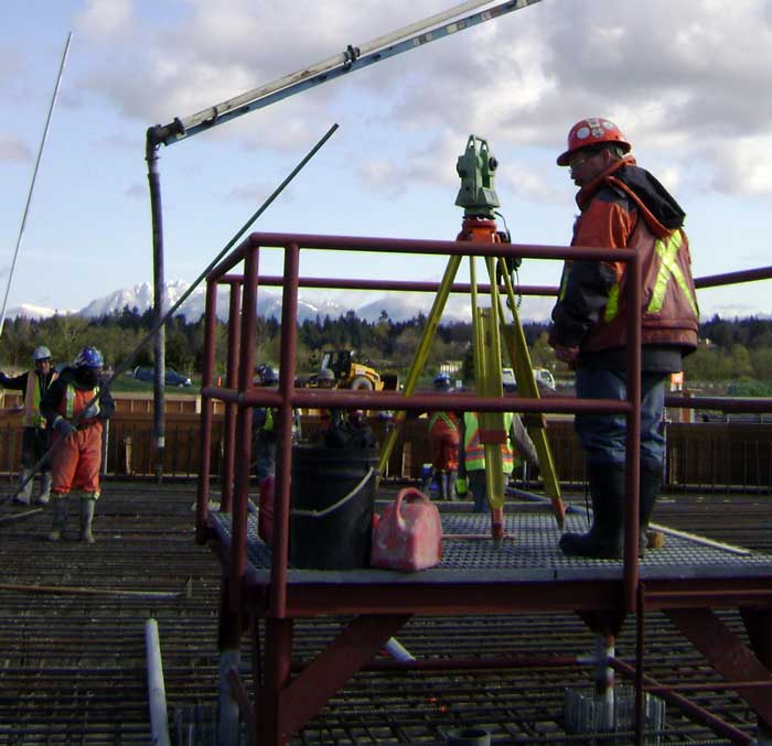
Surveying and engineering, side by side.
Having both land surveying and civil engineering consultants operating from the same office means seamless collaboration between the two professions — enhanced coordination, efficiency, and timing on every project.
Need a survey?
Tell us about your site and timeline. We’ll get you the information you need — the first time.
Request a Survey