How real-time kinematic GPS, combined with traditional methods, helps us solve challenging geomatics problems.
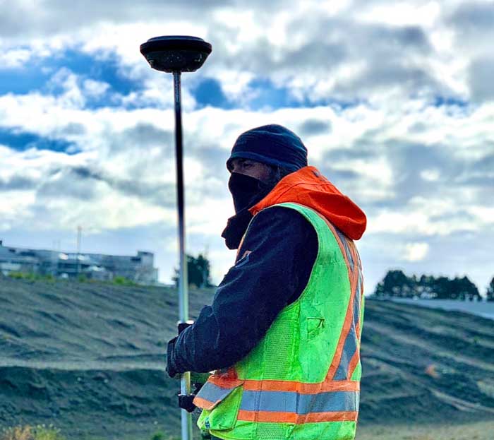
Modern surveying is a blend. RTK GPS gives us fast, accurate positioning across open sites; traditional total-station work fills in where satellite coverage is tight or precision demands it.
Using the two together, our crews achieve solutions to challenging geomatics projects efficiently — without compromising on accuracy.
It is the combination of current technology and experienced people that keeps us at the leading edge.